Costly site visits
For a first site assessment — feasibility, quoting, slope study — a full topographic campaign is often disproportionate: travel, equipment, delays.
Loading
Enter a cadastral reference: GeoAlt assembles the LiDAR HD point cloud, the contour plan and the elevation report for your parcel.
A topographic survey describes the relief and land cover of a site: elevations, slopes, buildings, vegetation, parcel boundaries. GeoAlt produces it entirely online from public IGN data — LiDAR HD for relief, RGE ALTI for digital elevation models, the cadastre for boundaries — with no site visit.
For a first site assessment — feasibility, quoting, slope study — a full topographic campaign is often disproportionate: travel, equipment, delays.
The IGN LiDAR HD program covers a large part of France with a classified point cloud, and RGE ALTI provides elevation models nationwide. Exploiting them takes GIS tooling and time.
Raw tiles cover square kilometres: the data must be clipped, classified, projected and formatted before it serves a project.
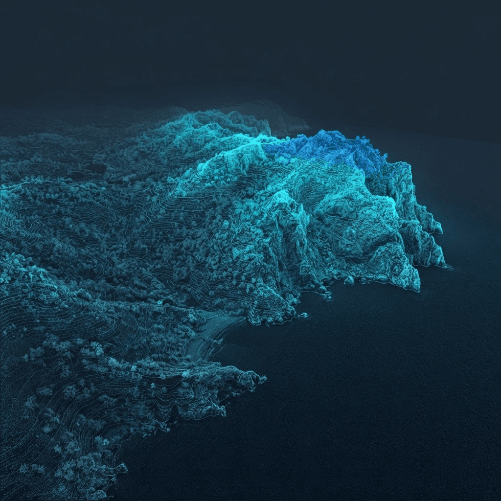
The public demo runs the same engine on a real parcel: selection, LiDAR extraction, plan and exports.
Open the demoOn bare ground, IGN LiDAR HD offers vertical accuracy of a few centimetres. On vegetation and roofs, accuracy depends on point density and classification. GeoAlt displays the source and date of every dataset used.
LiDAR HD coverage progresses by geographic blocks. Outside coverage, GeoAlt falls back to RGE ALTI (1 m digital surface model): relief stays available, without fine object classification.
Extraction, contour computation and deliverable generation run on demand: a few minutes for a standard parcel.
The data serves to prepare the graphic documents (site plan, sections). The regulatory pieces of the application remain the owner’s responsibility and, where applicable, the architect’s.
Enter a cadastral reference or draw your boundary: the cloud, the plan and the report are generated on demand.
Open the application